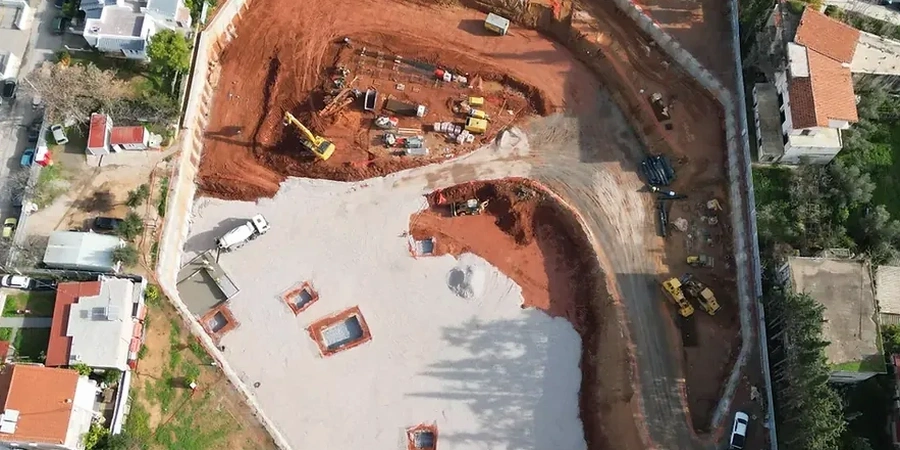
A Long Reach excavator with a tilting bucket arrives on site, and the first three metres of Whanganui silty sand are removed within the morning. In this city, deep excavation work moves quickly at the surface but slows considerably once groundwater is struck, usually between 2.5 and 4 metres depth across the river terraces. The design package we deliver maps out shoring pressures, base heave potential, and dewatering drawdown before machinery is mobilised. A CPT test run to 20 metres provides continuous stratigraphy and pore pressure data, which feeds directly into the excavation model. For projects adjacent to existing structures, we combine the CPT with excavation monitoring to track lateral movement against design predictions as the cut advances.
Excavation design in Whanganui is a groundwater problem first and a soil strength problem second.
Local geotechnical context
Whanganui's urban core expanded rapidly in the early 1900s, and many brick commercial buildings along Victoria Avenue and Ridgway Street sit on shallow timber pile footings that are sensitive to ground movement. When a new development requires a 6-metre basement excavation directly adjacent to one of these structures, the risk of differential settlement is real and immediate. The design must demonstrate, through calibrated numerical modelling, that the retaining system will limit lateral wall deflection to 0.3% of excavation height or less. We also specify observational triggers: if inclinometer readings exceed 70% of the predicted envelope, contingency measures such as corner bracing or re-phasing the dig are activated. New Zealand case law on lateral support obligations is well established; a defensible, peer-reviewed excavation design is not optional.
Quick answers
What geotechnical data is needed before designing a deep excavation in Whanganui?
At a minimum, we require several CPT soundings to 20–25 metres, at least one machine-drilled borehole with Shelby tube sampling for lab testing, and standpipe piezometers installed for at least two weeks to establish steady-state groundwater levels. If the site is within 100 metres of the river, tidal influence on pore pressure should be measured.
How close can we excavate to the Whanganui River without risk?
The setback depends on the depth of cut and the soil profile. Loose alluvial sands lose effective stress rapidly when groundwater flow is concentrated at the toe of an excavation. We model seepage gradients using SEEP/W or Plaxis flow-deformation coupling. In some cases, a low-permeability cut-off wall or grout curtain is required between the excavation and the river.
What is the cost range for the design package of a deep excavation in Whanganui?
For a typical commercial basement excavation of 4–8 metres depth, the full design package including ground investigation interpretation, retaining wall design, dewatering plan, and monitoring specification generally falls between NZ$3,500 and NZ$15,990. The final figure depends on the complexity of the soil profile and the proximity of adjacent structures.
Do you peer-review excavation designs prepared by others?
Yes. We provide independent Category 3 peer review in accordance with Engineering New Zealand guidelines. The review covers the geotechnical model, design assumptions, numerical analysis, structural detailing of the shoring system, and the adequacy of the monitoring plan.
What seismic load case is applied for temporary retaining structures in Whanganui?
For temporary works with a design life under two years, NZS 1170.5 allows a reduced return period factor. We typically apply a 25-year return period seismic coefficient unless the client or consenting authority requests a higher level. The Whanganui Basin amplification factor is accounted for in site-specific response spectra.