We still see designs in Whanganui that use default Site Class D when good data is sitting 30 metres down. That assumption adds steel and cubic metres of concrete that the ground doesn't ask for. Whanganui sits on the Whanganui Basin, a sedimentary trough filled with Pleistocene marine terraces and recent alluvial silts from the Whanganui River. A proper VS30 measurement with MASW can shift a design from D to C, or confirm E where it's actually present. The difference in lateral load demand under NZS 4203 is not marginal. We run the array, process the dispersion curve, and deliver a shear wave velocity profile that the structural engineer can use directly in the modal analysis. For deep basin sites near the CBD or along Anzac Parade, combining surface wave data with downhole SPT logs gives a constrained 1D model that removes the guesswork from the site period calculation.
Default Site Class D costs clients money they don't need to spend. One MASW line can justify Site Class C and reduce seismic base shear by 20%.
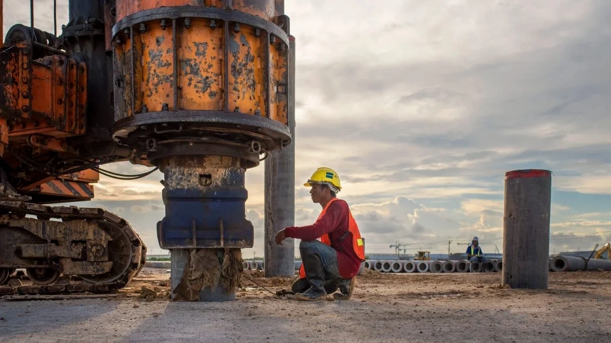
Local geotechnical context
A three-storey commercial building on Taupo Quay went through consent with desktop Site Class D. The site sits on 40 metres of compressible alluvium overlying the Tangahoe Formation. The piling contractor drove twice the number of piles that a Class C classification would have required. The additional cost ran to six figures and the programme slipped by eleven weeks. We re-ran the site with an active MASW line and a passive SPAC array. VS30 came back at 210 m/s, solidly within Site Class C. The consent amendment was approved. On the flip side, a shallow rock site near St Johns Hill that everyone assumed was Class B returned VS30 at 280 m/s because of weathered, fractured Papa mudstone. The lesson from both jobs: Whanganui's near-surface geology is variable enough that site-specific VS30 measurement pays for itself on the first foundation take-off. Liquefaction assessment under the NZGS Module 4 framework also demands a measured shear wave velocity, not a proxy from SPT blow counts alone, and the correlation errors stack up fast in silty soils.
Quick answers
How much does a MASW survey cost in Whanganui?
A standard active MASW line with passive microtremor recording and VS30 classification report runs between NZ$2,880 and NZ$5,390, depending on array length, site access, and whether we need to deploy a second passive array for deeper profiling. We quote fixed-price after reviewing the site plan and geology.
How long does the field work take on site?
An active MASW line with 24 geophones and passive recording typically takes three to four hours on site, including setup and pack-down. We can run two lines in a full day. The inversion and reporting take another three working days.
What is the difference between active and passive MASW?
Active MASW uses a sledgehammer or drop weight to generate surface waves, giving good resolution in the top 20 to 30 metres. Passive MASW records ambient microtremors and resolves deeper velocity structure, often down to 60 metres or more. We use both when the site sits on deep sediments, which is common in Whanganui.
Can MASW data be used for liquefaction assessment?
Yes. The NZGS Module 4 liquefaction framework accepts shear wave velocity as a direct input parameter. We provide the layer-by-layer Vs values required, and we can combine the MASW data with SPT or CPT results to strengthen the liquefaction triggering analysis.