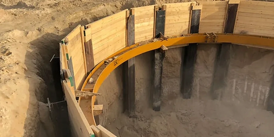
Pile foundation design in Whanganui demands a close reading of the local ground, not just a generic bearing capacity calculation. The city spreads across a landscape shaped by the Whanganui River, leaving behind deep alluvial deposits, loose dune sands near Castlecliff, and occasional peat lenses that complicate load transfer. NZS 3404:1997 and the NZGS guidelines set the structural and geotechnical framework, but applying them here means accounting for a water table that often sits within two metres of the surface. For projects from Durie Hill to the city centre, we pair in-situ permeability testing with deep borehole logging to model how groundwater affects skin friction along the pile shaft. A design that ignores Whanganui's layered fluvial history risks excessive settlement or, worse, a pile group that behaves unpredictably under seismic loading.
A pile in Whanganui isn't just a column in the ground; it's a load path through a thousand years of river sediment, and every metre of that path needs its own engineering justification.
Local geotechnical context
A mid-rise structure on Taupo Quay showed us exactly how things can go wrong with a generic pile design. The original concept assumed a uniform dense sand profile, but the river had carved an old paleochannel directly beneath the site, filled with compressible organic silts. The first pile load test failed at 60 percent of the design load, with sudden settlement under a fraction of the working load. Redesigning the pile group meant deepening each pile by nine metres to socket into the underlying papa mudstone, and adding a slope stability assessment for the excavation phase, because the retaining wall on the adjacent property was already showing cracks. In Whanganui, the risk isn't a lack of bearing capacity at depth; it's the variability of the journey to get there, and the cost of discovering that variability after the piling rig is on site.
Quick answers
What's the typical depth for piles in Whanganui's river terrace deposits?
It varies from 8 metres near the hill slopes to over 25 metres in the central city and Castlecliff areas where the alluvium is thicker. We determine the exact depth by drilling to a competent layer, usually the Tertiary papa mudstone or a dense gravel horizon, and then proving the capacity through dynamic or static load testing.
How much does a pile foundation design for a residential project in Whanganui cost?
For a standard residential pile foundation design, including a site-specific geotechnical investigation and the structural design of the piles, the fee typically ranges from NZ$3,030 to NZ$9,140. The final cost depends on the number of piles, the depth to the founding stratum, and the complexity of the ground conditions found during the drilling.
Can you design piles for the loose sand conditions common near Whanganui's beaches?
Yes, that's a common challenge here. The loose, saturated sands near Castlecliff and South Beach are prone to strength loss during shaking. We often use continuous flight auger (CFA) piles for these conditions and design them with a solid lateral load analysis, factoring in the potential for the sand to partially liquefy as per the NZGS liquefaction guidelines.