Whanganui’s subsurface is shaped by more than just the awa—its lowland terraces rest on a complex sequence of lahar deposits, volcanic ash layers, and alluvial silts that make geotechnical investigation a matter of careful interpretation rather than simple penetration. With a residential population approaching 50,000 spread across hillside suburbs and flat river plains, understanding the vertical and lateral variation in soil resistivity becomes essential for distinguishing stable ground from zones where saturation or buried paleochannels could compromise a foundation design. The electrical resistivity method, particularly when applied as a Vertical Electrical Sounding (VES), allows the technical team to map these contrasts by measuring how the subsurface responds to an injected current, revealing layers that a borehole alone might miss between sampling intervals.
Resistivity imaging reveals the hidden architecture of Whanganui's lahar and alluvial sequence before a single excavation begins.
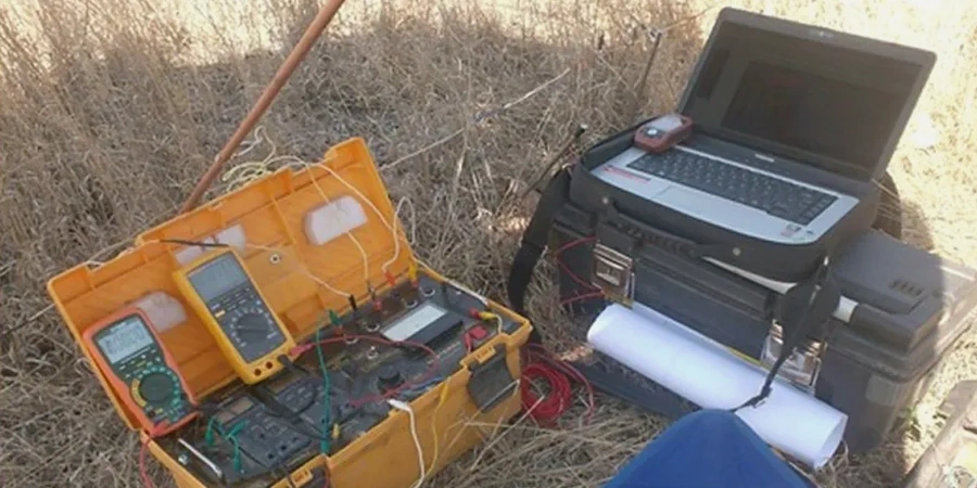
Quick answers
What is the typical cost range for an electrical resistivity survey in Whanganui?
For a standard VES sounding or a short 2D resistivity line in the Whanganui area, project budgets generally fall between NZ$900 and NZ$1,640 depending on the array length, number of soundings, and site access conditions. A firm quote is provided after reviewing the site location and the investigation depth required.
How deep can Vertical Electrical Sounding (VES) investigate?
The investigation depth is controlled by the maximum electrode spacing (AB/2). In practice, a VES survey in Whanganui can resolve layer boundaries down to 30-60 metres, provided the surface conditions allow good electrode coupling and there is sufficient resistivity contrast between the lahar deposits, alluvial silts, and the underlying Tertiary basement.
Does the resistivity method work in Whanganui's wet clay-rich soils?
Yes, but the interpretation requires care. Clay-rich soils and saturated silts produce low resistivity values that can mask subtle variations. The technical approach combines the resistivity data with borehole logs or CPT profiles to calibrate the geophysical model, ensuring that a conductive zone is correctly assigned to either a true clay layer or a water-saturated sand.
How long does a typical VES survey take on site?
A single Vertical Electrical Sounding with a Schlumberger array to a depth of 40-50 metres typically requires 45 to 90 minutes of field time for the measurement sequence, plus additional time for equipment setup and cable layout. A full 2D ERT line may occupy half a day depending on the profile length and terrain.